- T:+91 40 42018152
- E:info@trigeo.net
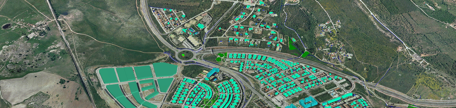
Geogprahical Information Systems
TriGeo designs, develops and implements geospatial databases that satisfy operational needs, detailed GIS mapping analysis using integrated geospatial technologies. These solutions are built using industry standard development platforms.
Capabilities

Software Expertise ARCGIS, Autocad Map 3D, SmallWorld GIS, MapInfo
Utility MappingTelecom, Gas, Electrical, Water, Storm, Sewer Systems
Cadastral MappingTriGeo has created approximately 7 Million parcels across various states in USA through COGO, Semi- COGO or Heads-up Digitization process.
Street NavigationCreation of Street Network from Satellite or Aerial Imagery,Creation of Street Network from Satellite or Aerial Imagery, Adding Street Names, Addresses, Adding Non-Navigational content & Creating POI with all details

2025 © TriGeo Technologies, All Rights Reserved.